Planning Your Trip
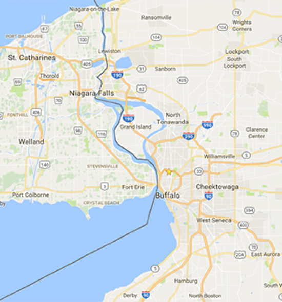
Buffalo is ideally situated on the western edge of New York State along Lake Erie. We are a 20-minute drive from Niagara Falls, 90 minutes from Toronto, and three hours from Cleveland and Pittsburgh. You can fly here from New York City in about 50 minutes, and the city is accessible by flight from every major East Coast hub in about three hours.
Getting Here
By Air
The Buffalo metropolitan area is serviced by the Buffalo Niagara International Airport, which is about nine miles away from the museum. Niagara Falls International Airport is about 19 miles away from the museum.
By Train
By Bus
By Car
Border Crossing
The Niagara International Transportation Technology Coalition (NITTEC) provides real-time border crossing information.
Where to Stay
Getting Around
Buffalo is a very car-friendly and bike-friendly city. Public transportation is also available through the Niagara Frontier Transportation Authority (NFTA).
Cab Services
Airport Taxi Service
Liberty Cab
Ride Sharing
Car Sharing
Bicycle Rentals
Public Transportation
The Albright-Knox is serviced by NFTA bus line 20, with stations northbound and southbound at Elmwood Avenue and Rockwell Road, directly in front of the museum.
Get directions via bus using Google Maps. Enter your starting address instead of “Buffalo, NY.”
Plan your trip using the NFTA trip planner. Enter your starting address and then enter “1285 Elmwood Avenue, Buffalo” as your destination address.